River Trails:
- Toston Dam to Toston Bridge
- Toston Bridge to York Islands
- York Islands to Indian Road Campgrounds
THE MISSOURI RIVER BC-43 PADDLERS’ TRAIL
Memorandum Of Understanding FWP NO. 26 Toston/York Signage
Contractor will be responsible for the following:
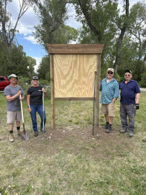
- BCDC (Broadwater County Trails) will make two portal signs for the Toston Bridge FAS and the York’s Island FAS that replicate the size, shape, structure, color and graphics of similar signs placed at Missouri Headwaters State Park.
- BCDC (Broadwater County Trails) will adjust wording on the two signs to reflect the FAS at which the signs are placed.
- BCDC (Broadwater County Trails) will maintain and refresh the two signs on an annual basis, as needed.
- BCDC (Broadwater County Trails) will immediately respond to any notification from FWP that a sign has been damaged, vandalized Or stolen. If a new sign is required due to damage, vandalism, or theft, BCDC (Broadwater County Trails) will replace the sign as soon as possible at BCDC’s (Broadwater County Trails) sole cost
THE MISSOURI RIVER BC-43 PADDLERS’ TRAIL
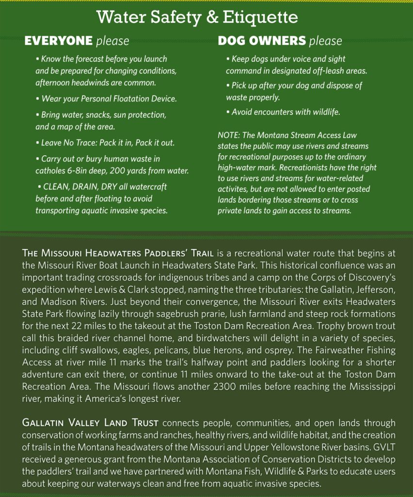
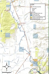 A recreational water route that begins at the Toston Dam Recreation Area, 22 miles downstream from the start of the Missouri River Paddlers’ Trail in Headwaters State Park. From the launch below the dam, the river breaks into a braided, gravel-barred channel, winding through a beautiful cottonwood river valley bounded by rolling sagebrush hills. Paddlers on this stretch can float alongside living history, tracing the path of the Lewis & Clark Expedition’s westbound journey in late July 1805.
Along the route, boaters will navigate through York’s Islands, a dense cluster of river channels named by the captains in honor of York, William Clark’s enslaved servant and a foundational member of the Corps of Discovery. Further downstream, the river glides past the striking, rust-colored rock faces of the Crimson Bluffs—a dramatic 50-acre landmark Meriwether Lewis described in his journals as “a remarkable bluff of a crimson coloured earth.” This nutrient-rich valley is a haven for diverse wildlife; look closely along the banks to spot busy beaver and river otter working the side channels, while whitetail deer graze the meadows. The skies and shorelines are equally alive with pelicans, sandhill cranes, blue herons, and nesting osprey or bald eagles.
Anglers floating this stretch will find a unique, mixed-bag fishery where native mountain whitefish, longnose suckers, and seasonal trophy-sized rainbow and brown trout run upstream from the reservoir below, alongside heavy-fighting common carp. Offering a peaceful float with exceptional wildlife viewing and deep historical roots, the trail tracks north until reaching the take-out at the Indian Creek Road Campground just outside of Townsend. The Missouri flows another 2300 miles before reaching the Mississippi River, making it America’s longest river.
Additional Links:
Trails around Southwest Montana | Hiking Southwest Montana | Elkhorn Wilderness Area | Canyon Ferry Trails | Big Belt Mountain Trails
Contact Us
Al Christophersen: 439-0197
John Hahn: 202-1050
Carol Hatfield: 431-9656
website: www.townsendmt.com
Make a Donation Here | Get Merch